
&w=3840&q=75)
&w=3840&q=75)
&w=3840&q=75)
&w=3840&q=75)
&w=3840&q=75)
&w=3840&q=75)
&w=3840&q=75)
&w=3840&q=75)


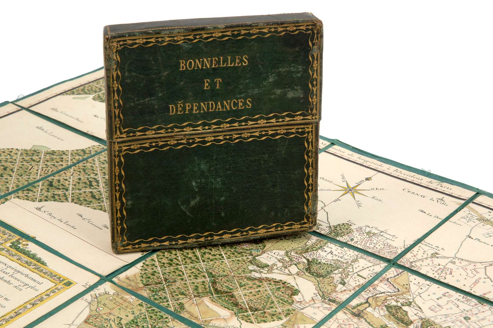
HAND-DRAWN MAP OF STATE-OWNED LAND.
[Manor Houses and Outbuildings].
The fiefs belonging to His Grace the Duke of Uzès…and farms….
(late 18th century).
Fees include commission and taxes.
[Manor Houses and Outbuildings].
The fiefs belonging to His Grace the Duke of Uzès…and farms….
(late 18th century).
Folio (65 x 93 cm). Bound in a square in-12 format, 18th-century green morocco, highlighted with gilt scrolls, gilt title (silk lining fragile at the folds on the reverse, one section split, slight wear to the binding).
A beautiful, entirely hand-drawn map, cut into 35 sections and mounted on green silk.
Finely drawn in brown ink and coloured with a wash, very precise.
Large explanatory “Legend” cartouche listing the fiefs and farms.
Appears to be a sort of composite map of the surveyed landholdings of the Duke of Uzès (the cartouche suggests referring to the specific maps of each fief) at Bonnelles in the Yvelines at the turn of the 18th and 19th centuries.
Most likely François-Emmanuel de Crussol d’Uzès, who purchased the priory house in 1791 and was the last lord of Bonnelles under the Ancien Régime (in 1795, his properties belonging to the Terre de Bonnelles were confiscated) or Maire-François-Emmanuel, 10th Duke of Uzès, who in 1803 secured the lifting of the seizures and regained possession of the Bonnelles estates.